Louisiana One E-Cards

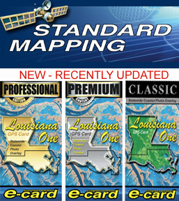
Standard Mapping New & Updated Louisiana One E-Cards providing aerial image data of the entire coast of Louisiana.

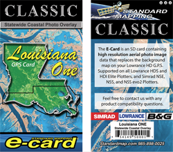
Louisiana One Classic Card Description Contains aerial image data of the entire coast of Louisiana. Price: $249.00 |

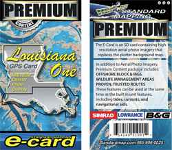
Louisiana One Premium Content In addition to aerial photo imagery of coastal Louisiana, the PREMIUM CONTENT package includes: Offshore Block and Rigs, Wildlife Management Areas, and Proven, Trusted Routes. These features can be used simultaneously as the built-in unit features including tides, currents, and navigational aids. Price: $349.00 |

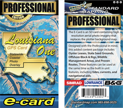
Louisiana One Professional Edition Designed with the Professional in mind, this added content package includes an SD card with all of the powerful features of the AERIAL IMAGE background map and PREMIUM PACKAGE containing: OFFSHORE BLOCK & RIGS, WILDLIFE MANAGEMENT AREAS, TRUSTED ROUTES, TIDES, AND CURRENTS, with the addition of OYSTER LEASES and SEED GROUNDS. These features can be used at the same time as the built-in unit features, including navigational aids. Price: $449.00 |